Your Survey Solution
Valley Land Services, LLC is your solution for professional, customer friendly and efficient land surveying services. We specialize in residential and commercial land surveying projects. Our clients can rely on Valley’s talented and competent team throughout their project.
Contact Us Today for All of Your Land Service Needs.
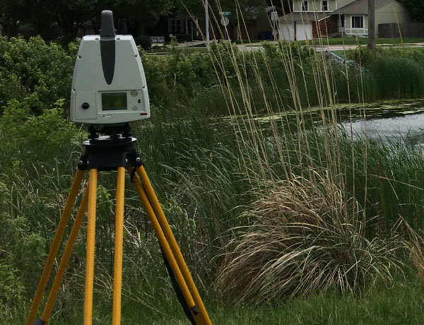
Boundary & Location Surveys
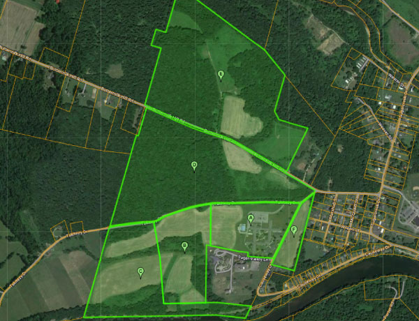
A boundary survey measures the property lines of a specific parcel or parcels. It commonly includes the locations of major improvements such as dwellings, driveways, fencing, and pools.
Topographical Surveys
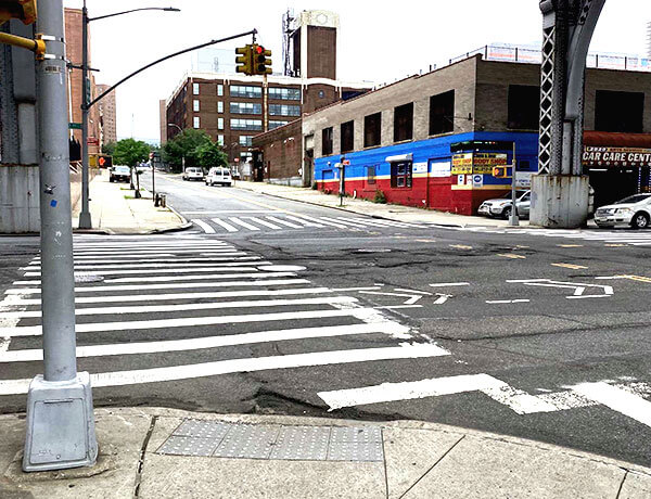
Topographic surveys measure terrain and elevation. They are used for land development projects such as subdivisions, new home construction, pool installations, and home addition projects.
Grading Plan Support
The expertise of analyzing existing topography of a parcel and its relationship with adjacent properties. This is an important element in preventing property damage, flooding, and standing water when completing a land development project.
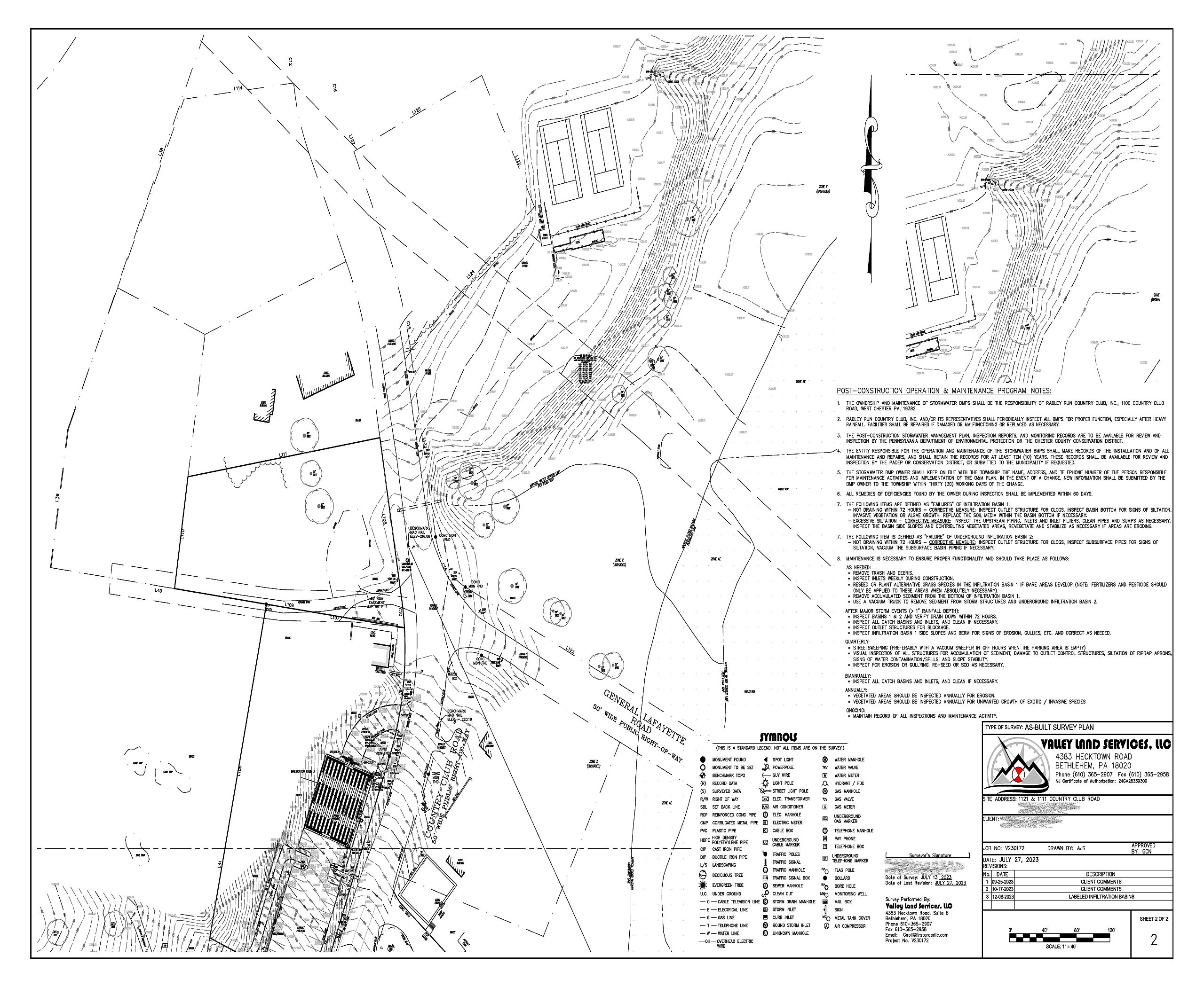
As-Built Survey Sheet #1
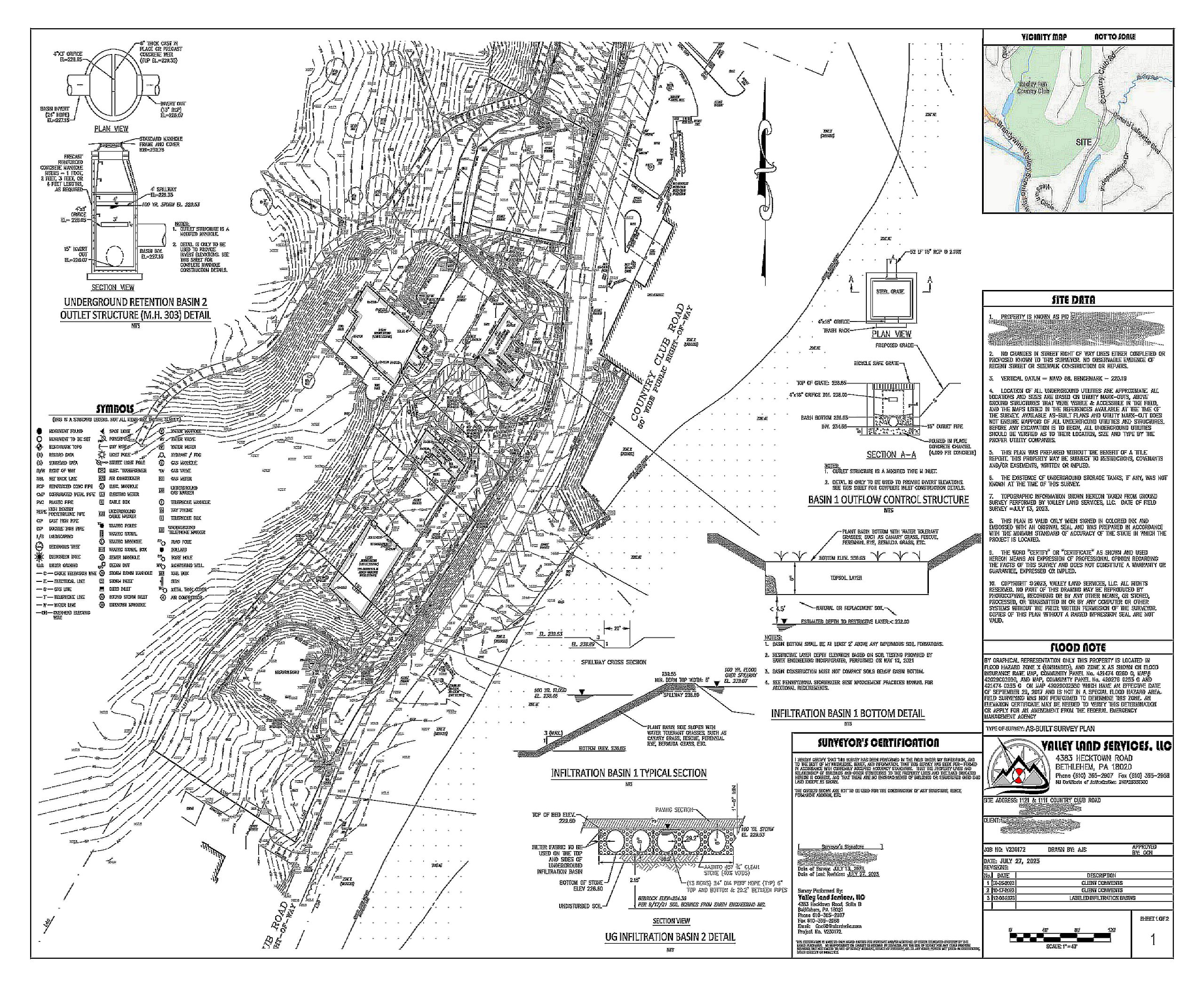
An as-built survey documents the existing conditions of a parcel. These surveys commonly include topography and are used to assist with obtaining local municipalities approval for land development projects.
As-Built Survey Sheet #2
This is a preliminary exploration of a proposed project. It includes reviewing local municipality requirements to help evaluate the merits and viability of a project.
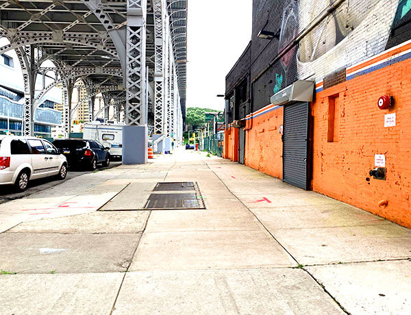
Elevation Certificates
Official document that displays the elevation & improvement (building or home) in relation to FEMA’s flood mapping. These are typically used for Flood Insurance applications, to meet lender requirements or governing authority approval on projects.
Subdivision Design
We can design any size property. From a Master Planned Community to a five lot subdivision.
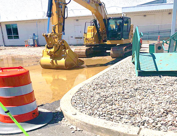

Construction Layout
We utilize your engineering design plans to stakeout your buildings, roadways, bridges, water systems, sewer systems and utility lines.
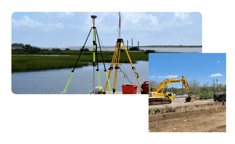
Development Surveys including Feasibility Studies, Impervious Coverage Evaluation, and more!
Clients We Serve
Civil Engineers
Design professionals such as Civil Engineers can rely on Valley’s accuracy and experience
Homeowners
Homeowners can rely on our ability to provide surveying products to assist them meet municipality or contractor requirements
CONTRACTORS
Builders and Contractors can rely on Valley’s convenient scheduling and experience working with on-site contractors
Developers
Developers can rely on Valley’s feasibility expertise and network of professionals
Property Managers
Property Managers can rely on our experienced with Homeowner association projects
Architects
Architects can rely on Valley’s new construction & renovation project knowledge

Ready to Start?
Valley Land Services is more than just a land surveying company. We are your trusted partner in unlocking the potential of your property. With a passion for precision and a commitment to excellence, our dedicated team of experts goes above and beyond to provide you with accurate and reliable results. Whether you’re planning a new construction project or need boundary surveys, you can count on us to deliver exceptional service every step of the way. Contact us today and let us help you make the most of your land.
